|
|
|
|
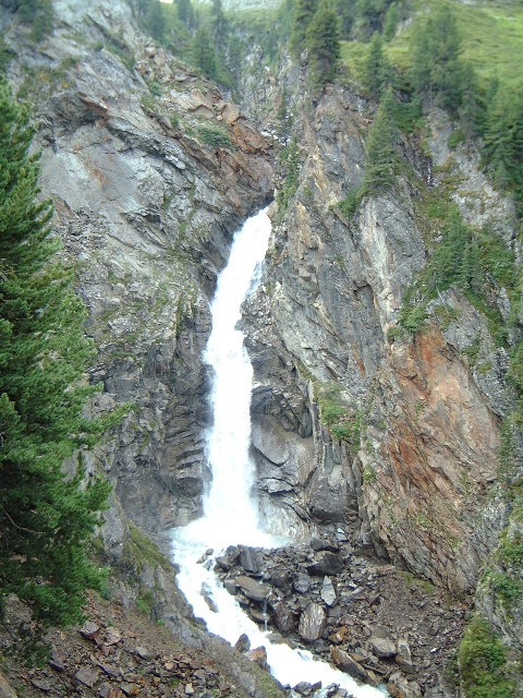
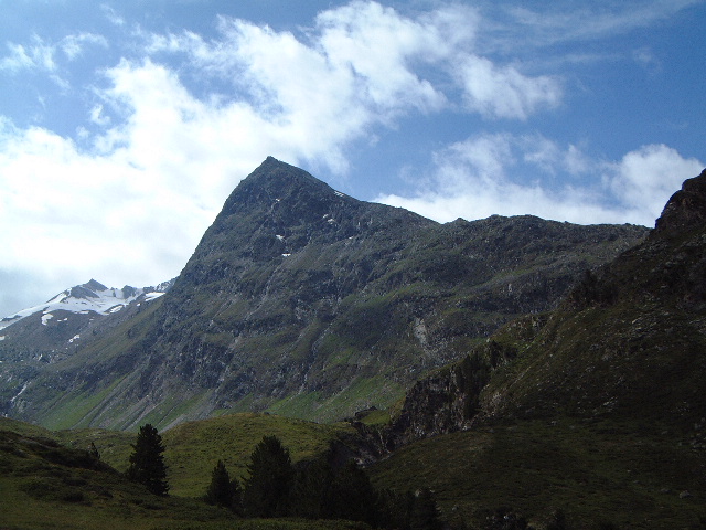
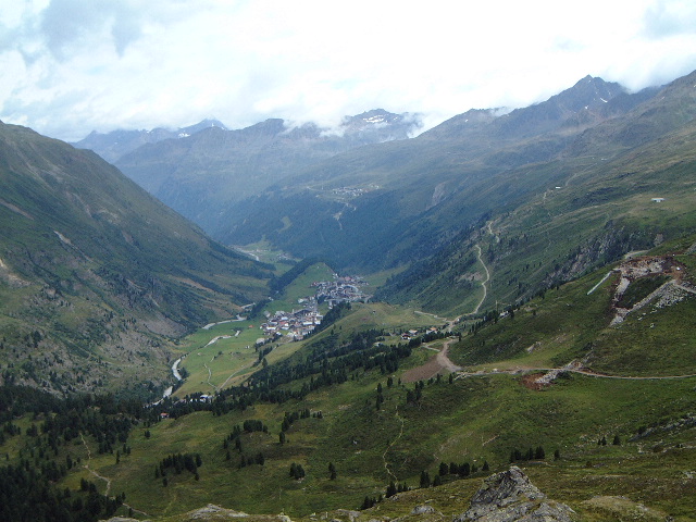
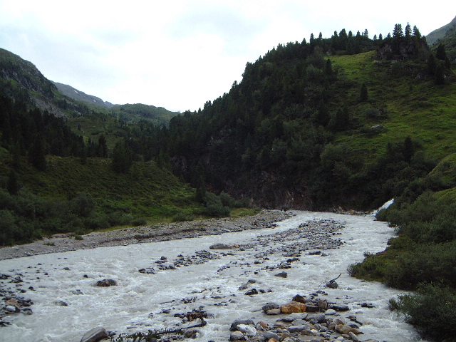
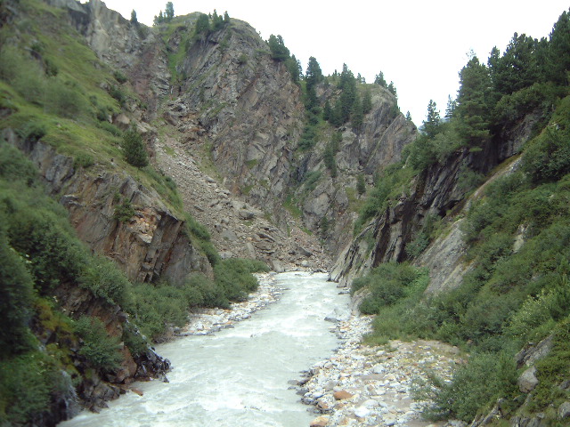
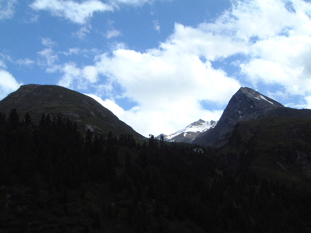
This was something of a warm-up walk getting used to t altititude. We went with the Thomson walking guide, Brian, and another couple who had arrived on the previous day like us, Ray and Mary. The walk set off from Obergurgl up the valley of the Gurgler Ache, the local river. We skirted around the bottom of the Zirben woods and then began to climb fiercely - real lung-tearing stuff and we weren't going that quickly. We were climbing alongside another stream, the Rotmoosache and arrived at exciting waterfall number one for the holiday; I can't say how many we saw in total but there were a lot of them. More climbing alongside the gorge above the waterfall and we reached upland eating place number 1 (if you know Austria, you'll know that there are lots of these too) This one was the Schonwieshutte (note to German speakers; if you think that I'm finding an umlaut every time there should be one - and I know that there are two in Schonwieserhutte - dream on!). Stopped there for a little something. The hut looks straight up the Rotmoos valley; this has glaciers at the end and the entrance is flanked by the Hohe Mut and Hangerer. The later just touches 3000m; I fancied having a go at that later in the week but Beryl thought that the top was a touch too scrambly for her. We also detoured from the main path to go to the top of the Schonwieskogel. This means beautiful view, with an outlook across the Gurgler valley to the ridge of hills between there and the Vent valley. The most famous point on here is the Ramolshaus; this is also just over 3000m and it is a popular target for walkers. Brian had been up there on a organised walk walk, the Floh March. The difference was that they carried onover the glacier to the col, Ramolsjoch (3189m) before descending to Vent; it took him 4.5 hours, complete head-bangr stuff. Our path looped around the northern flank of Hangerer into the next valley and after a level-ish bit climbed sharply again to the old customs post and then the Karlsruhehutte. We'd climbed over 500m to get there. This was lunch and our turning point. As we ate we had views of the Schwarzenkam range (does "kam" mean "range"?). We returned the way we had come but below the waterfall we crossed over the river and climbed to pick up a lovely contouring path. In fact this isn't much walked because it is quite short and leads to a dead end (Beilstein) but it had good views back across at our day's walk and curled nicely around a big cliff above the river. Note for those who think I'm a sad soul: I resisted the temptation to collect the stamps at various high points such as the two huts in today's walk. This earn you mountain points and you can trade them in for medals. I've go enough lists already (and not just of mountains) Besides you have tobuy the medals.
|
|